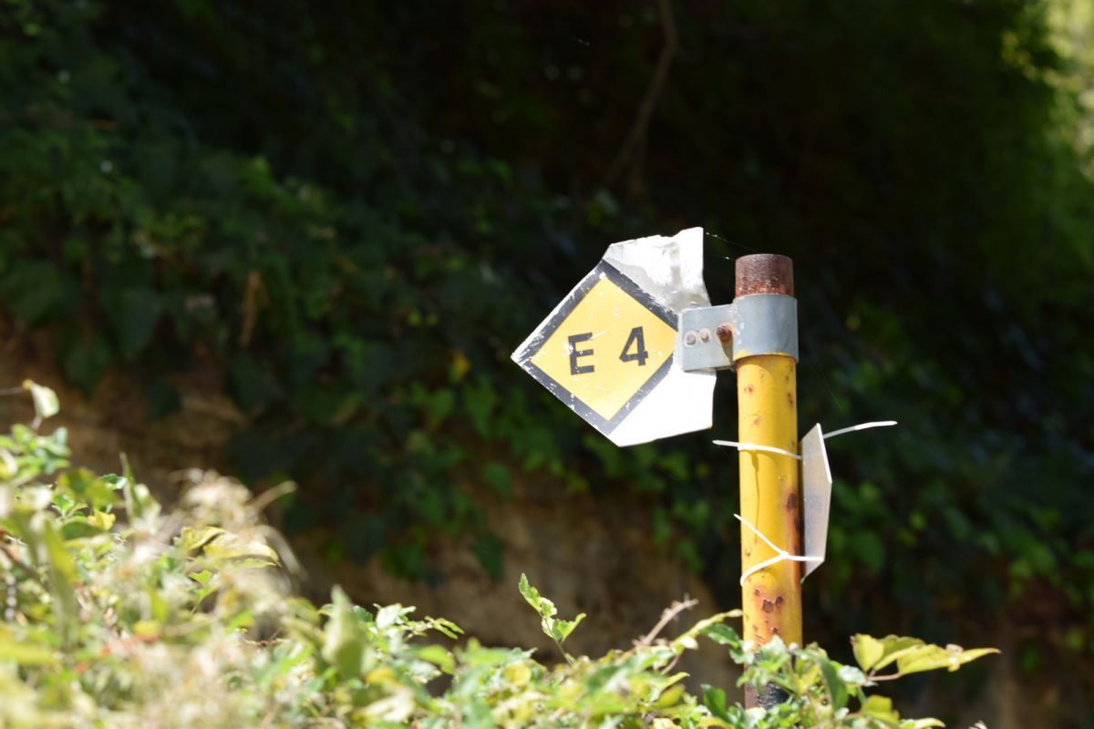

The European long-distance trail E4 is an international trail established by the European Mountain Walking Association (E.W.V.) in the following countries: Spain, France, Switzerland, Germany, Austria, Hungary, Romania, Bulgaria, Greece and Cyprus. In the Greek section, the E4 route passes from the Promachona-Serres road to the Strymonas river bridge, where it intersects with the E6 and reaches Greece at the outpost of Niki, north of Florina. Continuing south, it crosses the mountains of Vernon, Vermio, Pieria and Olympus, to end up through the mountainous mass of central Greece at Delphi. It passes, after the Gulf of Corinth, to Kalavryta and from there to Planeteros. It then enters Arcadia from Lykuria and follows the sources of Ladon, passes through Pangratio and reaches Dara. Of course, it includes Tripoli for an overnight stay. Then it passes through Vytina, passes through Levidi and climbs to the Mainalo Refuge. Then, passing through the Tripoli-Kalavryton road, it reaches Kapsa and Perithori, it returns to Tripoli and from there to the Stadium, Psili Vrysi, it passes through Ano Doliana and reaches Agios Petros. From here it passes through Karyes and Bresthena to leave the borders of Arcadia, ending up in Sparta and Gythio. Then it crosses Crete from the prefecture of Chania to the prefecture of Lasithi.
Source: topoguide.gr


Car
From Athens: 218 km, 2.5 hours
From Kalamata: 98 km, 1 hour
The route follows the A6 (Attiki Odos), A8 (Elefsina-Corinth) and A7 (Corinth-Tripoli) highways, and then the A71 (Lefktro-Sparti) highway.
Bus
From Athens: 226 km, 3.5 hours
From Kalamata: 102 km, 1 hour
KTEL Lakonia operates several daily routes to and from Athens. These routes also serve the Sparta-Tripoli and Sparta-Corinth lines.
From the airport
From Eleftherios Venizelos – Athens Airport: 248 km, 2.5 hours
From Kalamata airport: 96 km, 1 hour
The road transition from Kalamata to Sparta takes about an hour. The route follows the A7 highway (Kalamata-Tripoli) and then the A71 highway (Lefktro-Sparti).
For road access to the paths of the present study, the following road network can be used:
The Sparti – Logastra provincial road
The Spartis – Kalamata highway
The national road Spartis – Mystras
The Spartis – Gytheio national road
The Spartis-Mystra provincial road
Amykles-Kalyvia Sochas street
Kalyvia Sochas – Sochas street
Mystra-Pikoulianika street
Mystras-Taygeti street
Taygeti – Pergandaika street
The Mystras-Vlahochori street
Agios Ioannis-Anavrytis street
In addition to the above paved roads, there are a number of existing forest and rural roads, mainly dirt, which allow access to the existing paths.
Η περιοχή προσφέρει μεγάλη ποικιλία χώρων διαμονής για όλα τα γούστα. Μπορείτε να βρείτε πέτρινα παραδοσιακά σπίτια και ξενώνες, μικρά ξενοδοχεία, resorts πολυτελείας και ενοικιαζόμενα δωμάτια, στο Μυστρά, Παρόρι, στα Πικουλιάνικα, στην Τρύπη, στην Αναβρύτη και στην Ταϋγέτη.
Για περισσότερες πληροφορίες: https://www.exploresparta.gr/tourism/diamoni/
From the main local products of the Spartan land the following stand out: olives of the “Kalamon” variety & virgin olive oil, oranges, honey, wine with the typical Kydonitsa, Mavroudi, Roditis, Athiri and Agiorgitiko varieties, synglino, sausage, pasta, trout and salmon.
Some of the most typical traditional dishes that you can look for on your trip are: Bouzopoula, Kokoras bardouniotikos, Pitaroudes, Kayanas, Kolokythokorphades.
More info at exploresparta.gr
Hiking boots, hat, sunscreen, long pants, water at least 1.5 liters, food, compass, whistle, flashlight, knife or multi-tool, watch and baton. In winter, windproof jacket, waterproof and isothermal clothes.
We also suggest that you never walk alone and always have a first aid kit with you. A well-charged mobile phone will come in handy in difficult situations.
You can hike all year round, except in the winter months when snow may close some paths. Spring and autumn are considered the best seasons thanks to mild temperatures and colourful nature. Due to the altitude, the air can be strong and icy. In summer (July, August) it may be hot enough to walk.
It is important toBefore every hike we are informed about the weather conditions.
We do not stray from the boundaries of the path.
We use fireplaces and avoid fires.
We don’t leave trash. On the path we collect rubbish that may have been left by others.
We do not destroy the vegetation, we respect the historical monuments and the local populations.
We respect wild animals and do not feed them.
Source: trailpath.gr
In the past, there were large mammals that today have disappeared such as bears, deer, roe deer, wolves and even the lynx. Today, 19 mammals have been observed in the mountain fauna, including the fox, badger, ferret, hare and hedgehog. Wildcat and jackal have also been reported although the population status of these species is not well documented. The only large mammal that is often seen is the wild boar.
In the event of the appearance of snakes, as a preventive measure, the hiker can be careful where he steps and where he puts his hands. If you encounter a snake, stay calm and keep a distance of at least two to three meters without disturbing it. In the event that you are bitten by a snake, stay calm, call 166 or 112 and take no action at all, except go to the health center with the help of an attendant. We recommend that you never walk alone.