Προφήτης Ηλίας © eposfilis.gr
Discover the trails of central Taygetus
Trail Network of Central Taygetus

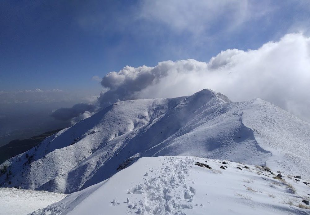
The Taygetos Trails is the network of traditional trails that extends in the northern part of the Central and Eastern Taygetos with a total length of about 90 km. It is located within the prefecture of Laconia and connects 14 mountain villages: Logastra, Trypi, Agia Irini (Warsaw), Stavros, Pikoulianika, Vlahochori, Taygeti (Barsinikos), Pergantaiika, Anabryti, Socha, Kalivia Sochas, Agios Ioannis, Parori, Mystras. The network has entrances from the villages of Logastra, Agia Irini (Warsaw) Trypi, Pikulianika, Mystra, Parori, Agios Ioannis and Kalivia Sochas. In total there are 28 routes in the network, they are aimed at all levels of hiking experience and are accessible all year round.

The restoration of the trails is an initiative of the local associations:
◼ Sporting Educatioonal Association of Kalyvia Socha
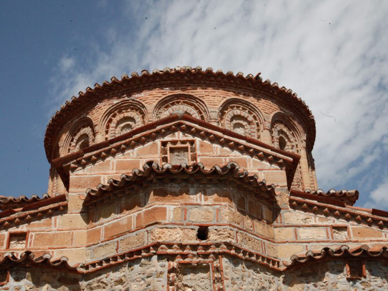
◼ Cultural Association of Mystras
◼ Cultural and Environmental Association “Parori 2011”
◼ Cultural Association of Pikoulianika
Cultural Association of Trypi «Plithon»
◼ Association of Vryseada and Friends of Anavryti “Faneromeni”Σ with the coordination of the Progressive Association of Taygeti (Barsinikos) and Mystras, with the support of the Municipality of Sparta and the Regional Unit of Peloponnese.

The restoration and marking of the path network is carried out under the responsibility of the Hellenic Mountaineering Association of Sparta.

Αγία Ειρήνη-Σημείο
Τρύπη-Άγιος Βασίλειος © Σαράντος Βουραντώνης
Ευρωπαϊκό μονοπάτι Ε4 © wikipedia.gr
Τρύπη-Καταρράκτες Κνακίωνα © Δήμος Σπάρτης
Σπηλαιοβάραθρο Καιάδα
Μυστράς, Άγιος Δημήτριος © Δήμος Σπάρτης
Μυστράς, Κάστρο © Δήμος Σπάρτης
Ταϋγέτη © Κώστας Λαγανάς
Παρόρι - Λαγκαδιώτισσα © Δήμος Σπάρτης
Τρύπη © Κώστας Λαγανάς
Τσάρκος © Κώστας Λαγανάς
Καλύβια Σοχάς © Κώστας Λαγανάς
Τρύπη © Κώστας Λαγανάς
Ταΰγετος © Δήμος Σπάρτης
Ιερά Μονή Γόλα © topoguide.gr, Τ.Αδαμακόπουλος
1/20
Agia Irene (Varsova) – Trypi (Karagianneika) – Trypi
76 m
2 km
201 m
45 mins
461 m
277 m
318 m
More info
2/20
Trypi – Knakion River Springs (Circular)
18 m
0,35 km
70 m
10 mins
501 m
88 m
318 m
More info
3/20
Trypi – Agios Vasileios – Agios Georgios
60 m
1,2 km
109 m
30 mins
547 m
169 m
467 m
More info
4/20
European trail Ε4 (Peloponnese)
820 m
25,5 km
969 m
6 hrs
1477 m
1789 m
191 m
More info
5/20
Loggastra – Knakionas River – Trypi
6/20
Trypi (Kaiadas) – Pikoulianika
7/20
Pikoulianika – Diaselo
8/20
Castle of Mystras (Upper Gate – Agiannakis)
9/20
Mystras – Taygeti (Barsinikos)
476 m
2,1 km
96 m
1 hr
708 m
572 m
320 m
More info
10/20
Taygeti (Barsinikos) – Sela – Perganteika – Monasteri of Faneromeni
1120 m
6 km
780 m
55' + 30' + 35'
420 m
More info
11/20
Parori – Panagia Lagkadiotissa – Metamorphosi Sotiros
300 m
2,1 km
460 m
45 mins
160 m
More info
12/20
Parori – Panagia Zagouna – Monastery of Faneromeni
270 m
3,7 km
780 m
1 hr 25 mins
510 m
More info
13/20
Agiannis – Anavryti
400 m
3,3 km
790 m
1 hr 10 mins
390 m
More info
14/20
Anavryti – Livadi
4,5 km
1 hr 45 mins
610 m
More info
15/20
Lakkomata – Livadi – Tsarkos
646 m
3,6 km
186 m
1 hr 45 mins
1740 m
832 m
1270 m
More info
16/20
Kalyvia Sochas – Socha – Lakkomata
320 m
8,3 km
1280 m
3 hrs 30 mins
960 m
More info
17/20
Anavryti – Monastery of Faneromeni (E4)
2,5 km
3o mins
10 m
More info
18/20
Pigi Maganiari – Taygetos Refugee – Profitis Ilias Peak
3,8 km
1 hr 30 mins
570 m
More info
19/20
Koumousta – Pinieri Lakka – Pentavloi
6,5 km
2 hrs 30 mins
550 m
More info
20/20
Koumousta – Monastery of Gola
380 m
3,1 km
197 m
1 hr
577 m
More info
Σπανακάκι © Κώστας Λαγανάς
Useful information
Access

Car
From Athens: 218 km, 2.5 hours
From Kalamata: 98 km, 1 hour
The route follows the A6 (Attiki Odos), A8 (Elefsina-Corinth) and A7 (Corinth-Tripoli) highways, and then the A71 (Lefktro-Sparti) highway.

Bus
From Athens: 226 km, 3.5 hours
From Kalamata: 102 km, 1 hour
KTEL Lakonia operates several daily routes to and from Athens. These routes also serve the Sparta-Tripoli and Sparta-Corinth lines.

From the airport
From Eleftherios Venizelos – Athens Airport: 248 km, 2.5 hours
From Kalamata airport: 96 km, 1 hour
The road transition from Kalamata to Sparta takes about an hour. The route follows the A7 highway (Kalamata-Tripoli) and then the A71 highway (Lefktro-Sparti).

For road access to the paths of the present study, the following road network can be used:

The Sparti – Logastra provincial road
The Spartis – Kalamata highway
The national road Spartis – Mystras
The Spartis – Gytheio national road
The Spartis-Mystra provincial road
Amykles-Kalyvia Sochas street
Kalyvia Sochas – Sochas street
Mystra-Pikoulianika street
Mystras-Taygeti street
Taygeti – Pergandaika street
The Mystras-Vlahochori street
Agios Ioannis-Anavrytis street

In addition to the above paved roads, there are a number of existing forest and rural roads, mainly dirt, which allow access to the existing paths.

Accomodation

Η περιοχή προσφέρει μεγάλη ποικιλία χώρων διαμονής για όλα τα γούστα. Μπορείτε να βρείτε πέτρινα παραδοσιακά σπίτια και ξενώνες, μικρά ξενοδοχεία, resorts πολυτελείας και ενοικιαζόμενα δωμάτια, στο Μυστρά, Παρόρι, στα Πικουλιάνικα, στην Τρύπη, στην Αναβρύτη και στην Ταϋγέτη.

Για περισσότερες πληροφορίες: https://www.exploresparta.gr/tourism/diamoni/

Gastronomy

From the main local products of the Spartan land the following stand out: olives of the “Kalamon” variety & virgin olive oil, oranges, honey, wine with the typical Kydonitsa, Mavroudi, Roditis, Athiri and Agiorgitiko varieties, synglino, sausage, pasta, trout and salmon.

Some of the most typical traditional dishes that you can look for on your trip are: Bouzopoula, Kokoras bardouniotikos, Pitaroudes, Kayanas, Kolokythokorphades.

More info at exploresparta.gr

Suggested equipment

Hiking boots, hat, sunscreen, long pants, water at least 1.5 liters, food, compass, whistle, flashlight, knife or multi-tool, watch and baton. In winter, windproof jacket, waterproof and isothermal clothes.

We also suggest that you never walk alone and always have a first aid kit with you. A well-charged mobile phone will come in handy in difficult situations.

Seasonal hiking

You can hike all year round, except in the winter months when snow may close some paths. Spring and autumn are considered the best seasons thanks to mild temperatures and colourful nature. Due to the altitude, the air can be strong and icy. In summer (July, August) it may be hot enough to walk.

Hiking behaviour

It is important toBefore every hike we are informed about the weather conditions.
We do not stray from the boundaries of the path.
We use fireplaces and avoid fires.
We don’t leave trash. On the path we collect rubbish that may have been left by others.
We do not destroy the vegetation, we respect the historical monuments and the local populations.
We respect wild animals and do not feed them.

Source: trailpath.gr

Wild animals

In the past, there were large mammals that today have disappeared such as bears, deer, roe deer, wolves and even the lynx. Today, 19 mammals have been observed in the mountain fauna, including the fox, badger, ferret, hare and hedgehog. Wildcat and jackal have also been reported although the population status of these species is not well documented. The only large mammal that is often seen is the wild boar.

In the event of the appearance of snakes, as a preventive measure, the hiker can be careful where he steps and where he puts his hands. If you encounter a snake, stay calm and keep a distance of at least two to three meters without disturbing it. In the event that you are bitten by a snake, stay calm, call 166 or 112 and take no action at all, except go to the health center with the help of an attendant. We recommend that you never walk alone.

Skip to content